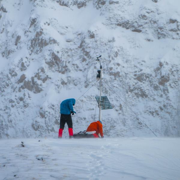
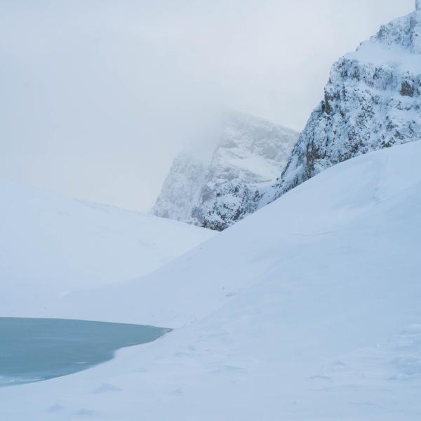
Girton PhD Student, Konstantis Alexopoulos, recently undertook an ambitious expedition to Mt. Tymfi’s alpine zone, in Northern Pindus, Greece, to install automatic instruments. These will gather field observations over the following months to understand the effect of climate change on the high altitudes of Greece.
We asked Konstantis where he hopes his research will lead and what inspired him to pursue climate science.
Research
 The overarching goal of my current research is to understand how climate change is impacting snow on the mountains of my home country, Greece – when does it fall, how much of it falls, when does it melt – and how these changes are affecting the country’s water resources in a rapidly warming planet.
Contrary to popular belief, Greece is a very mountainous country, with more than 300 large mountains, and about 40 ranges that exceed 2,000 meters in elevation. Mountains are where the majority of precipitation falls, especially during winter, meaning they play a vital role in providing lowlands with water for domestic, agricultural, industrial use and more. However, in the rapidly changing Mediterranean climate, dryer and warmer conditions are affecting these fragile processes, causing the winter season to shrink, which poses an increasing risk to our society and to the environment. Understanding the rate at which these changes are occurring, is key for informing management measures that will ensure water security in the decades to come.
Through the use of satellites and numerical models, we have an unparalleled large-scale perspective into our world, but it’s not exactly perfect. This means that as climate scientists, it is our job to go into the field – often under harsh weather conditions – to take measurements from remote places, such as mountainous areas, that we refer to as “data gaps”. This was precisely our goal during my last expedition, where we headed up in Mt. Tymfi’s alpine zone, in Northern Pindus, Greece, to install instruments that over the following months will measure the amount of snow that falls up at 2,050m above sea level, helping us improve the precision of estimates offered by satellites and models.


